42°52′N · 88°28′W · Eagle, Wisconsin
Walk the land the glaciers left behind
Trails, lakes, small towns and the Friday fish fry, across the hills between Milwaukee and Madison. Nothing here is for sale; the notes are for whoever is lacing up their boots.
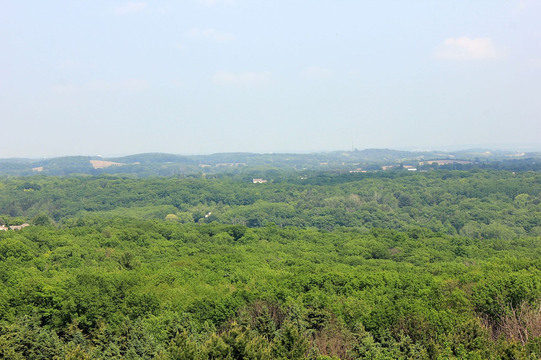
Out this week
 Route · TrailsThe Scuppernong loops north of Eagle
 Story · HistoryOld World Wisconsin: the open-air farm museum south of Eagle
 Story · The Friday TableThe Wisconsin Friday fish fry: where it came from and how to order one
Trails
Walks, rides and loops through the hills, kettles and oak openings of the Kettle Moraine.
 Route · TrailsThe Ice Age Trail through the Southern Kettle MoraineRoute · TrailsThe Scuppernong loops north of Eagle
 Route · TrailsJohn Muir and Emma Carlin: the big trail systems of the Southern Unit
 Route · TrailsUp Lapham Peak: the tower, the trails and the lit ski loops near Delafield
Lakes
Lakes, rivers and the shore paths, beaches and launches of Wisconsin's Lake Country.
 Place · LakesOttawa Lake Recreation Area: camping, swimming and paddling near Dousman
 Route · LakesPaddling the Bark River: Lower Nemahbin to Dousman and Rome
 Place · LakesOconomowoc and its lakes: Fowler Lake, Lac La Belle and Oconomowoc Lake
 Place · LakesPewaukee Lake: the village beach, boating and ice fishing
Towns
Small towns and day trips from Milwaukee, Madison and Chicago.
 Place · TownsEagle, Wisconsin: the village at the south end of the Kettle Moraine
 Place · TownsDousman, Wisconsin: a Bark River village on the Glacial Drumlin Trail
 Place · TownsDelafield, Wisconsin: lake town, old stagecoach stop and gateway to Lapham Peak
 Place · TownsOconomowoc, Wisconsin: a downtown between two lakes
Seasons
When to go and what to do: fall color, ski trails, sap season, wildflowers and fairs.
 Season · SeasonsFall color in the Kettle Moraine: timing, trees, towers and drives
 Season · SeasonsCross-country skiing in the Kettle Moraine: where the groomed trails are
 Season · SeasonsSnowshoeing in the Kettle Moraine: where to go and how to do it
 Season · SeasonsSap season: maple sugaring in the Kettle Moraine country
History
Glaciers, mounds, farms, railroads and the people who shaped southeastern Wisconsin.
Story · HistoryOld World Wisconsin: the open-air farm museum south of Eagle Story · HistoryHow the glaciers made the Kettle Moraine
 Story · HistoryAztalan State Park: the ancient town on the Crawfish River near Lake Mills
 Story · HistoryTen Chimneys: the Lunt and Fontanne estate at Genesee Depot
The Friday Table
Fish fry, supper clubs, custard, curds and the rest of the Wisconsin table.
Story · The Friday TableThe Wisconsin Friday fish fry: where it came from and how to order one Story · The Friday TableThe Wisconsin supper club: how it began and how to spend an evening at one
 Field note · The Friday TableThe Wisconsin brandy old fashioned: the method, the toppers and the garnishes
 Place · The Friday TableFrozen custard in southeast Wisconsin: the egg yolks, the flavor of the day and the stands